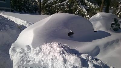
Baltimore, MD - Jan. 4, 2024 - (PP) A wintry mix of weather is set to impact Maryland and the Mid-Atlantic states over the weekend, with the most significant snow and ice expected west of the Blue Ridge and Catoctin mountains. Areas west of I-15 may see accumulations of two to six inches of snow and ice, while to the east, heavy rain is likely to limit snow accumulation. If a low-pressure system passes further south, cold air could linger over the metro-D.C. region, especially to the west of I-95. The storm is predicted to originate in the Southeastern states, bringing heavy rain and thunderstorms before moving northward.
Travel conditions in the Northeast and Mid-Atlantic may be affected, with Friday being the best day for travel. The wintry effects are expected to be most pronounced over about 12 hours from late Shabbos into Sunday evening.
Friday will be mostly sunny with a high near 42, and Shabbos will see a chance of snow transitioning to rain as temperatures climb to near 40.


